Aubrey residents should plan for heavier rain overnight and a wet Thursday trip as storms spread across North Texas from west to east.
The National Weather Service’s Wednesday morning forecast puts the initial flooding threat in western North Texas this evening, then shifts the focus toward the Interstate 35 corridor overnight and early Thursday. Rain is expected to spread farther east overnight and Thursday; the regional outlook does not establish an exact arrival time for Aubrey.
Denton County is included in the Flood Watch scheduled from 4 p.m. Wednesday, Sept. 30, through 7 a.m. Friday, Oct. 2. All times are Central Daylight Time. The watch’s 4:40 a.m. update calls for 2–4 inches across the watch area, with localized totals of 5–7 inches possible where storms repeatedly pass over the same places. Those higher amounts are a regional possibility, not a prediction for every neighborhood.
Keep alerts audible overnight and check the latest forecast before leaving Thursday. Never drive through a water-covered road or low-water crossing. A watch means flooding is possible; it does not establish that a road is flooded or an event is canceled.
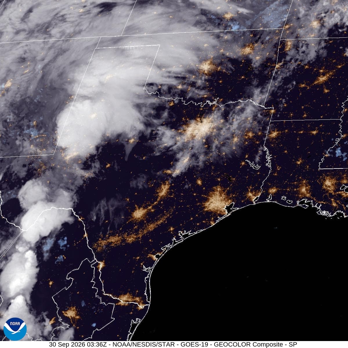
Satellite image: GOES-19 GeoColor composite of the Southern Plains at 9:21 a.m. CDT Wednesday, September 30, 2026. Credit: NOAA/NESDIS/STAR. The image shows cloud cover, not forecast rainfall totals or confirmed flooding.