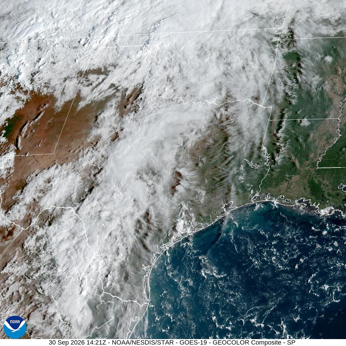
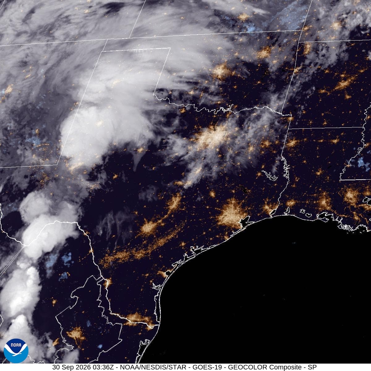
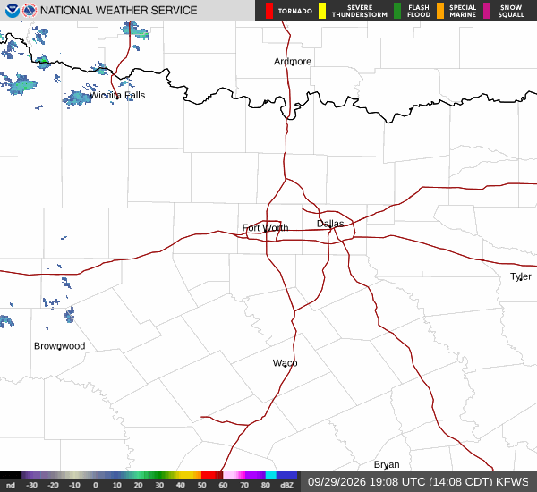
*As of Sep 30, 2 PM local time.*
Severe Flood Watch in Effect
A severe Flood Watch is currently active for the Aubrey area, issued by the National Weather Service in Fort Worth. This alert remains in effect until early tomorrow morning. Residents should stay alert for potential flooding as significant rainfall is expected over the next 24 hours.
The combination of heavy precipitation and existing ground saturation could lead to rapid water accumulation in low-lying areas and stream channels.
Current Conditions and Today's Outlook
It is currently Wednesday afternoon in Aubrey. The air temperature stands at 90F, but the heat index makes it feel like 96F. Relative humidity is at 56%, with a dew point of 72F, contributing to the muggy atmosphere.
Winds are blowing from the south at 17 mph, with gusts reaching 26 mph. The sky is mostly cloudy. Today’s high is expected to reach near 92F, with a low near 71F.
There is a 39% chance of precipitation, with scattered showers and thunderstorms possible. New rainfall amounts between a quarter and half of an inch are possible today.
Tonight and Tomorrow
Tonight, scattered showers and thunderstorms will occur before 10pm, followed by more persistent showers and thunderstorms. Some storms may produce heavy rain. The low will be around 71F, rising to 74F overnight.