*As of Oct 1, 2 PM local time.*
Current Conditions and Immediate Outlook
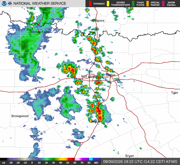
A severe flood watch is currently active for the Aubrey area, signaling a significant risk of flooding due to heavy rainfall. The watch remains in effect until early tomorrow morning. Right now, the air temperature is 72 degrees Fahrenheit, feeling like 73 degrees.
The atmosphere is quite muggy, with relative humidity at 94 percent and a dew point of 70 degrees. Light rain is falling, accompanied by winds of 13 miles per hour. Given the high moisture content, the air feels heavy and sticky, which can be uncomfortable for those spending time outdoors.
Today and Tonight
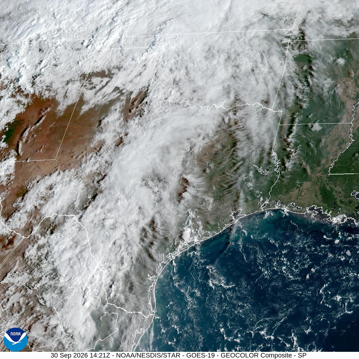
Showers and thunderstorms are likely to continue before 4 p.m., followed by a slight chance of further storms later in the day. The sky will remain cloudy, with a high near 76 degrees. Winds from the south southeast will average around 10 miles per hour, with gusts reaching 20 miles per hour.
The chance of precipitation is 60 percent, with new rainfall amounts between a tenth and a quarter of an inch possible. Tonight, the situation intensifies. A chance of showers and thunderstorms exists before 10 p.m., after which storms become likely.
Temperatures will hold near 69 degrees, rising to around 73 degrees overnight. The chance of precipitation increases to 70 percent, with significant rainfall amounts between 1 and 2 inches possible. This accumulation is the primary driver for the active flood watch.