*As of Oct 2, 2 PM local time.*
Active Flood Watch and Current Conditions
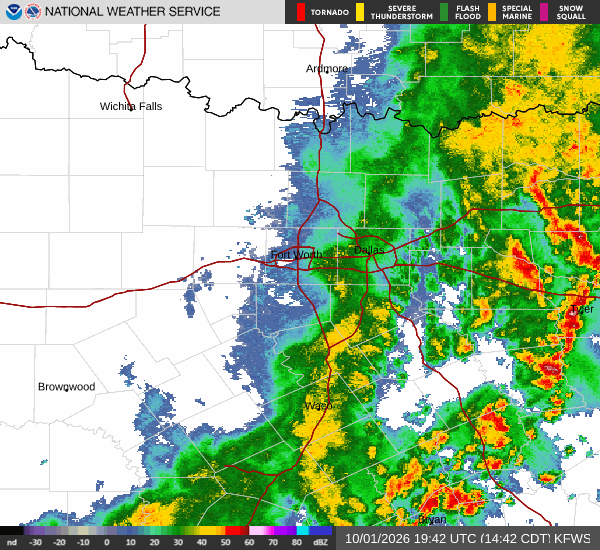
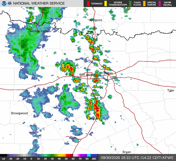
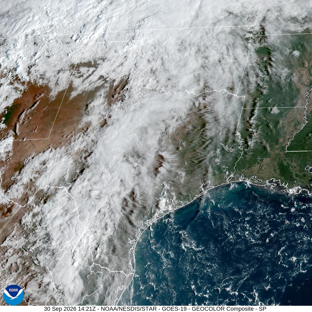
A severe Flood Watch is currently active for the area, indicating a significant risk of flooding due to expected rainfall. Residents should remain vigilant and prepared for potential water accumulation. It is currently Friday afternoon in Aubrey, with the air temperature sitting at 79 degrees Fahrenheit.
The conditions feel slightly warmer at 80 degrees, driven by a relative humidity of 74 percent and a dew point of 70 degrees. The sky is cloudy, and winds are blowing from the north-northeast at 8 miles per hour, with gusts reaching up to 17 miles per hour. The high humidity contributes to a muggy feel, making the current environment quite uncomfortable for outdoor activities.
Today's and Tonight's Forecast
Showers and thunderstorms are likely to develop today, with a chance of precipitation around 57 percent. The high temperature will remain near 78 degrees, while the low is expected to drop to 66 degrees. Rainfall amounts could range between a tenth and a quarter of an inch.
As night falls, the clouds will persist, and the likelihood of storms remains high. Temperatures will hover around 66 degrees initially, potentially rising to 69 degrees overnight. Winds will shift to 5 to 15 miles per hour, with gusts up to 25 miles per hour.
Additional rainfall of a quarter to half an inch is possible during this period, which may contribute to the flooding risks highlighted by the active watch.